
2003 2007 2009 2010 2011 2012 2013 2014 2015 2016 2017 2018 2020 2022
1. Some studies on the Geodetic networks in the case of using coordinate/positional/ measurements. Paper, presented at the International Scientific Conference. Section technical sciences. Stara Zagora, 5-6-th of June 2003. pp. 221. publication
2. Joint processing of correlated/derived from preceding adjustment/ and uncorrelated quantities in the geodetic networks. Paper, presented at the International Symposium, entitled "Contemporary technologies, Education and Professional practice in one Globalizing World.. Sofia, 6-7-th of November 2003. pp. 413. publication
2007
3. Assessment of the Quality of Geodetic Networks Using Fuzzy Logic. Geowissenschaftliche Mitteilungen Heft Nr. 78, 2007. Schriftenreihe der Studienrichtung Vermessung und Geoinformation Technische Universitat Wien. ISSN 1811-8380, page 4-19.publication
2009
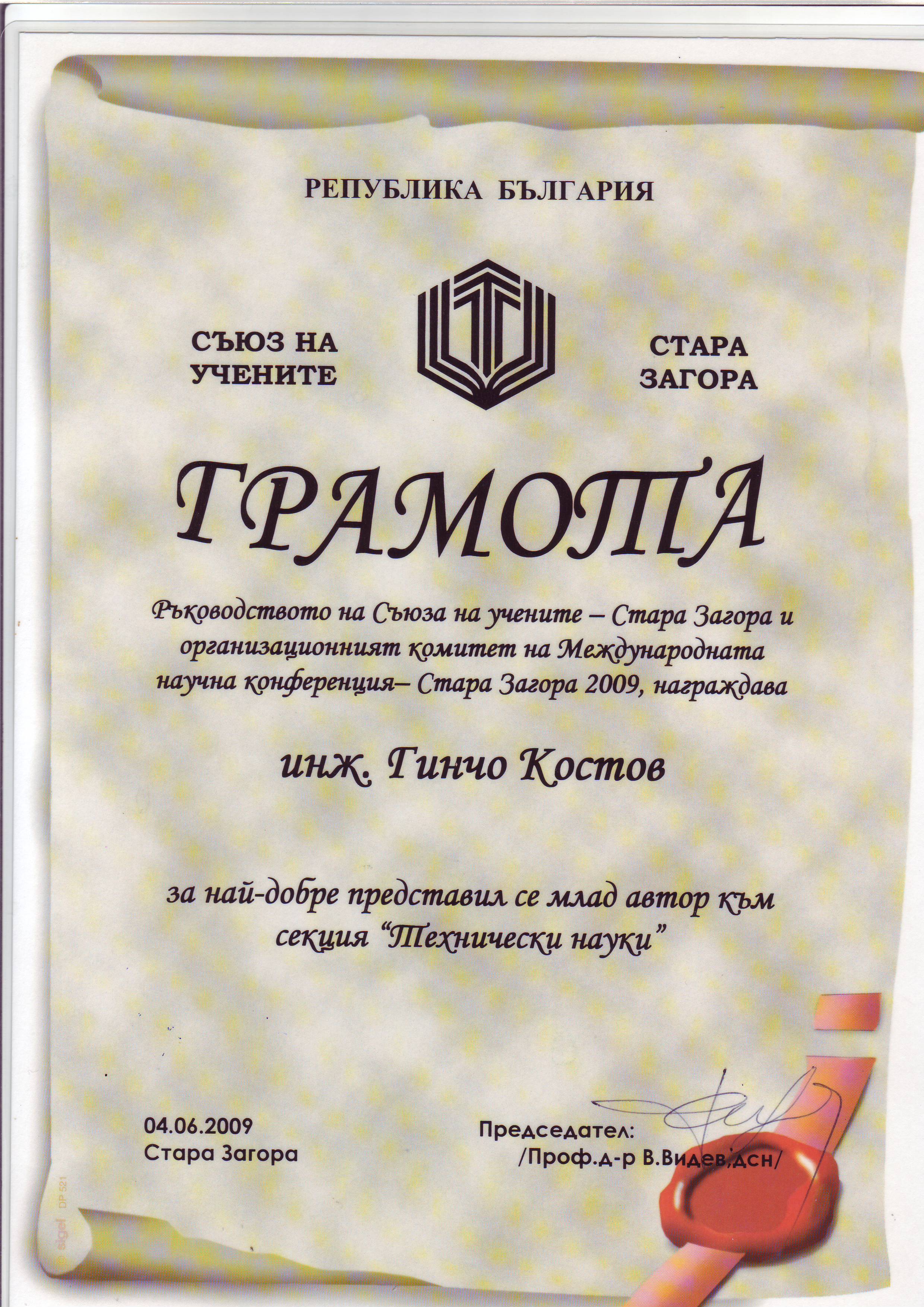
4. Applying of Fuzzy Logic for Study of GNSS Detrmination in Various Conditions. International Scientific Conference Stara Zagora 4-5-th of June 2009 entitled: "The Development of the Economy and Society, Based on the Knowledge. publication; charter
5. Using of Fuzzy Logic for Some Studies over GNSS Determination in fast Static mode. University of Architecture, Civil Engineering and Geodesy. International Scientific-Applied Conference. UACEG 2009 29-31-st of October 2009. ISSN 1310-814X. publication
2010
6. Some Studies on the Quality of GNSS Determinations Under Specific Conditions. FS 1H - GNSS CORS Networks - Positioning Infrastructure, Analysis and Applications I. FIG Congress 2010 Facing the Challenges. Building the Capacity Sydney, Australia, 11-16 April 2010. ISBN 978-87-90907-87-7. publication presentation
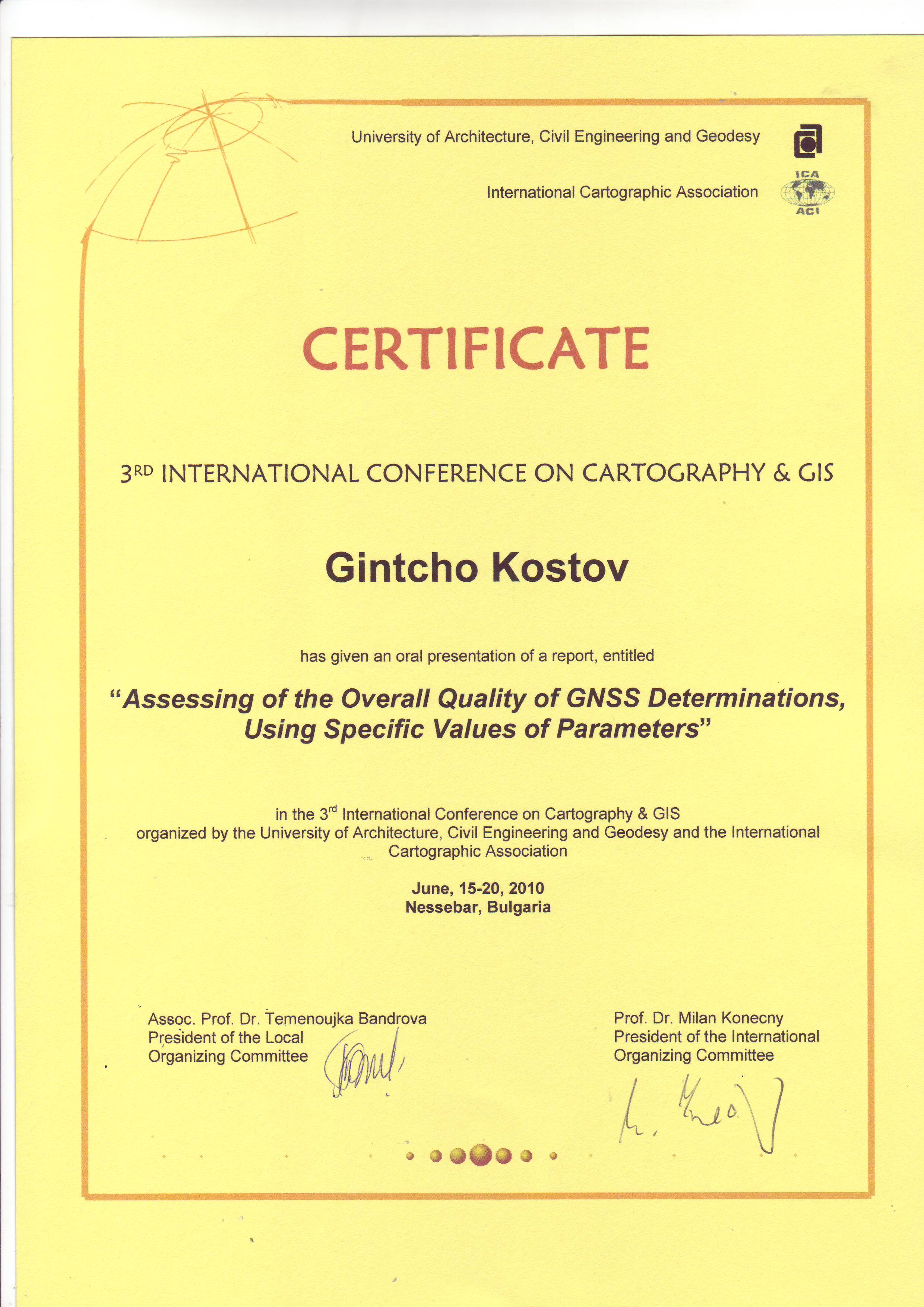
7. Assessing of the Overall Quality of GNSS Determinations, Using Specific Values of Parameters. Third International Conference on Cartography and GIS. June, 15-20, 2010. Nessebar, Bulgaria. publication ; presentation ; certificate
2011
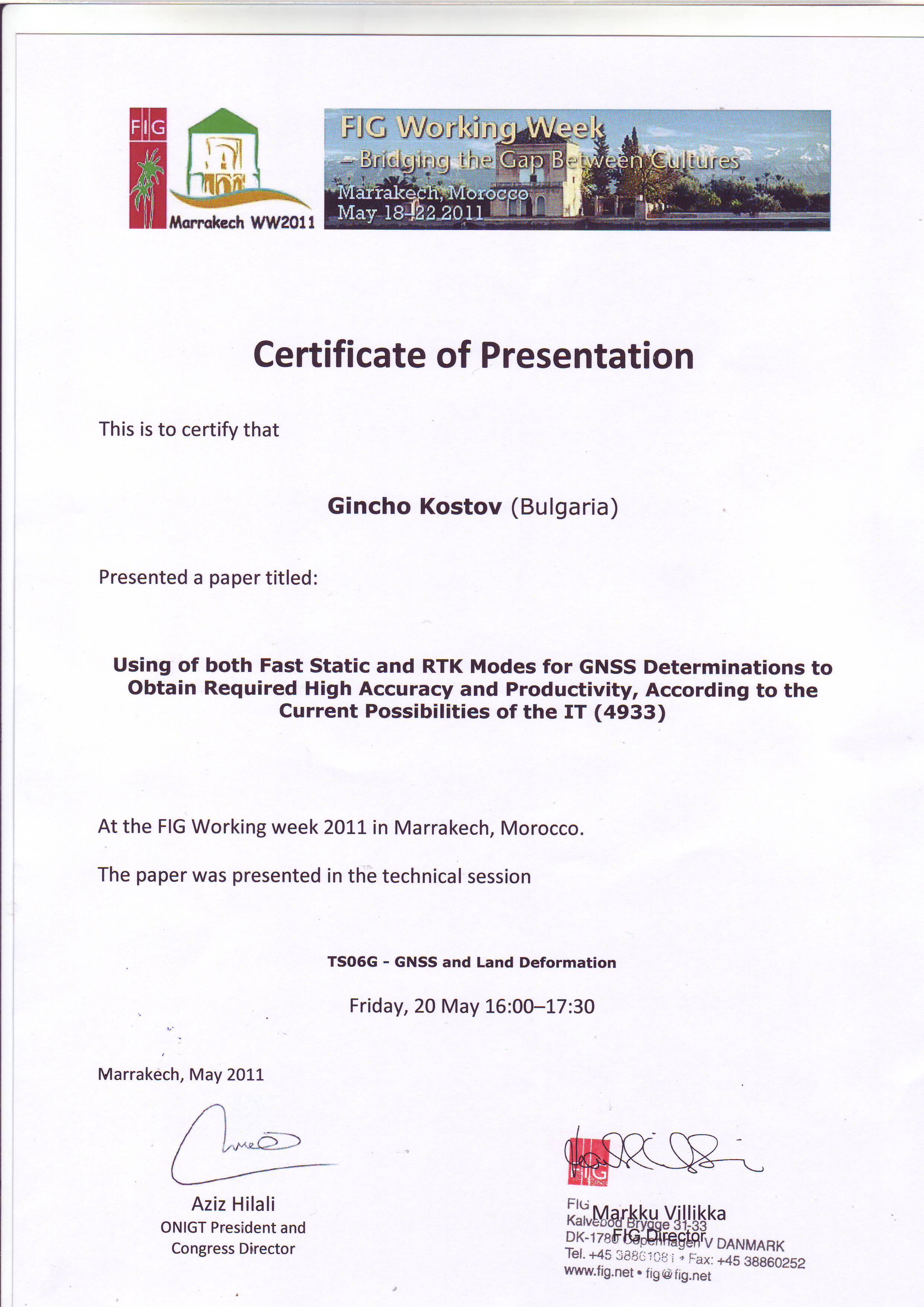
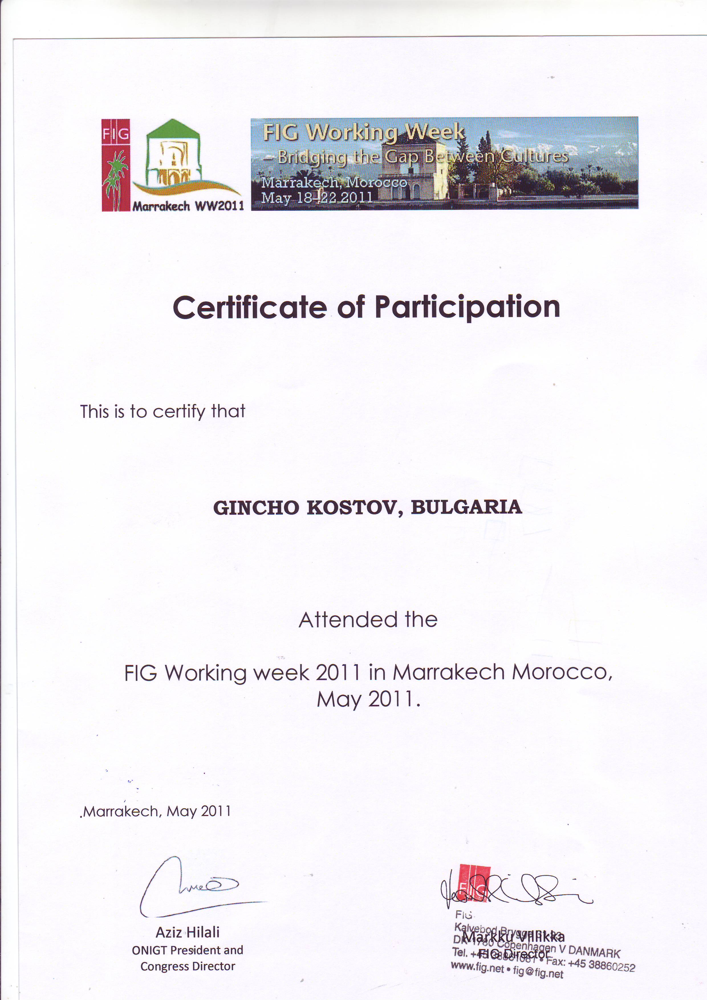
8. Using of both fast Static and RTK Modes for GNSS Determinations to Obtain Required high Accuracy and Productivity, According to the Current Possibilities of the IT. FIG Working Week - Bridging the Gap Between Cultures, Marrakech, Morocco. May 18-22 2011. ISBN 978-87-90907-92-1. publication ; presentation certificates: for presentation; for participation
9. Applications of Online Satellite Imagery in Surveying and Assessing its Reliability Using GNSS Technology. 25-th International Cartographic Conference, 3-8 July 2011. Palais des Congres-Paris. ISBN: 978-1-907075-05-6. publication ; certificate
2012
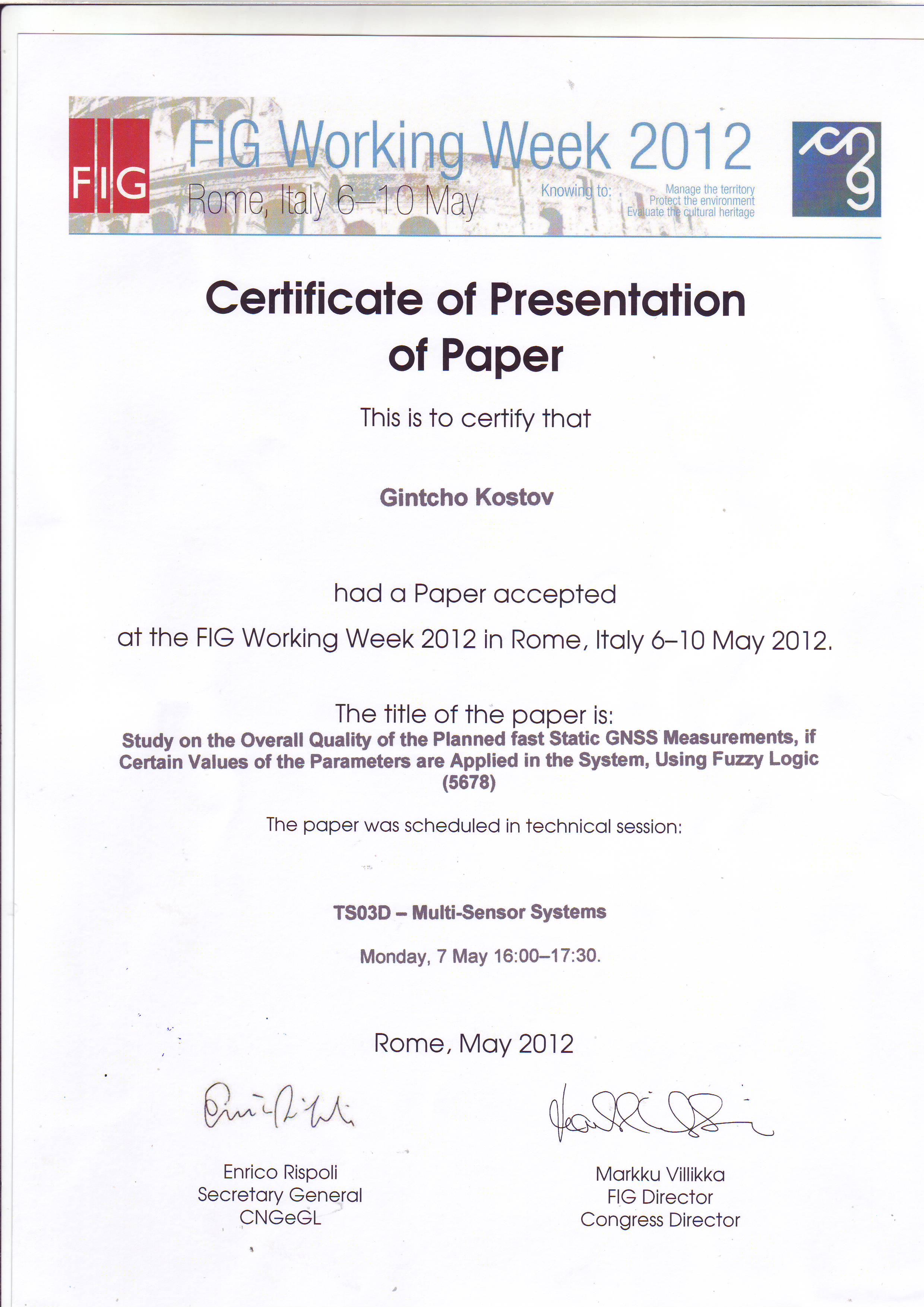
10. Study on the Overall Quality of the Planned fast Static GNSS Measurements, if Certain Values of the Parameters are Applied in the System, Using Fuzzy Logic, 6-10 May 2012 - FIG Working Week 2012 - Knowing to manage the territory, protect the environment, evaluate the cultural heritage, Rome, Italy. ISBN 97887-90907-98-3. publication ; presentation; certificate for presentation
11. Study of the Behaviour of the Rover and Assessment of the Overall Quality of the Results from RTK Measurements, Conducted in open-Field - Influenced by Active Disturber. INTERNATIONAL SYMPOSIUM ON MODERN TECHNOLOGIES, EDUCATION AND PROFESSIONAL PRACTICE IN GEODESY AND RELATED FIELDS. ISBN 978-80-87159-29-3. Sofia, 08 - 09 November 2012. publication ; presentation
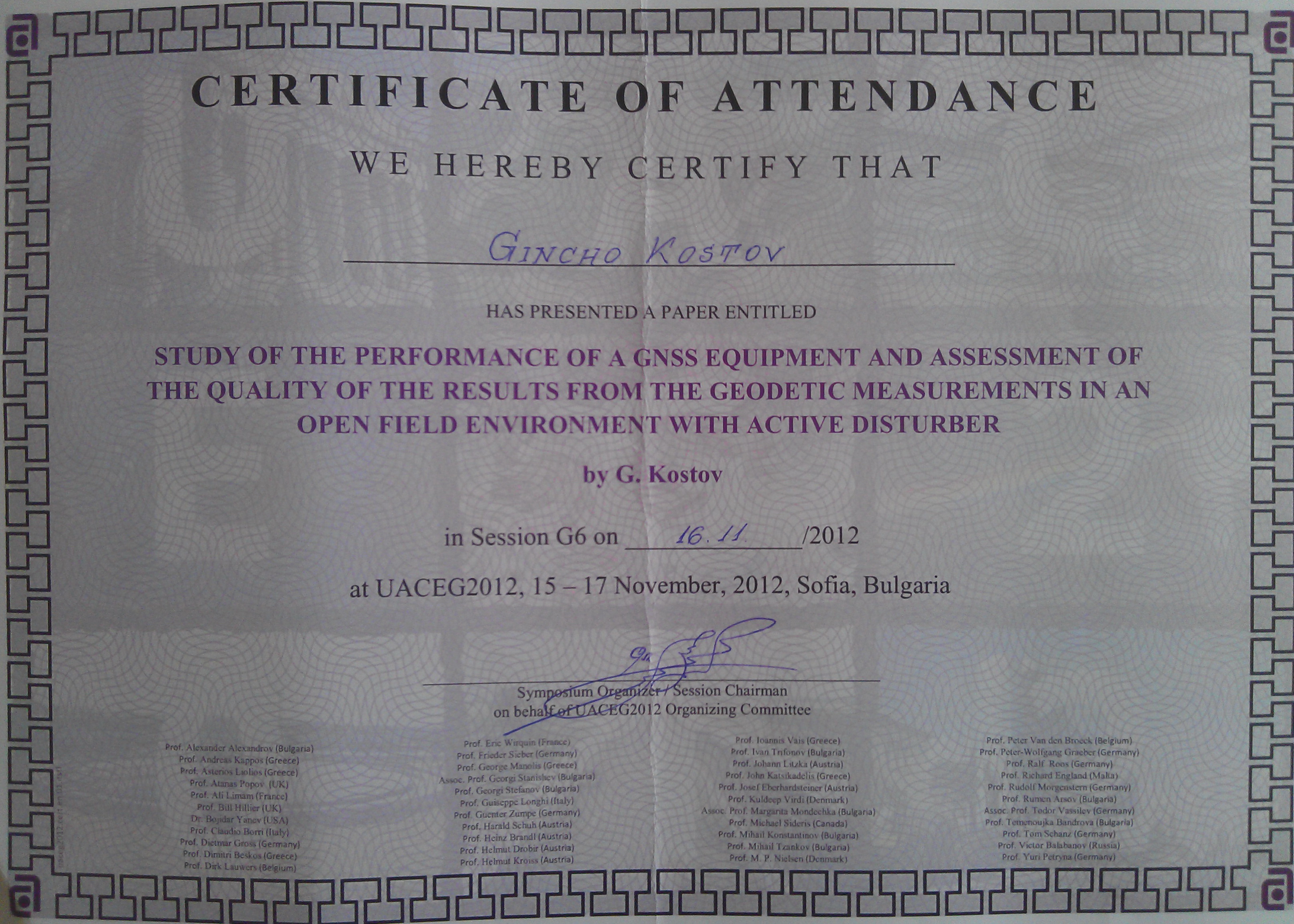
12. Study of the Performance of a GNSS Equipment and Assessment of the Quality of the Results from the Geodetic Measurements in an open Field Environment with Active Disturber. International Jubilee Conference UACEG2012: Science and Practice, UNIVERSITY OF ARCHITECTURE, CIVIL ENGINEERING AND GEODESY, 15-17 NOVEMBER 2012, Sofia, Bulgaria. ISBN 978-954-724-049-0. publication ; presentation; certificate for participation and presentation.
2013
13. Applying of the Mobile Versions of Google Earth and AutoCAD for Field Control of a Specialized map of a Large Urban Garden. Technical Session - TS03C - Positioning and Navigation - Today and Tomorrow, paper no 6660. FIG Working Week 2013, Environment for Sustainability. Abuja, Nigeria, 6 – 10 May 2013. ISBN 978-87-92853-05-9. ISSN 2307-4086. 10 May 2013. ISBN 978-87-92853-05-9. ISSN 2307-4086. publication ; presentation
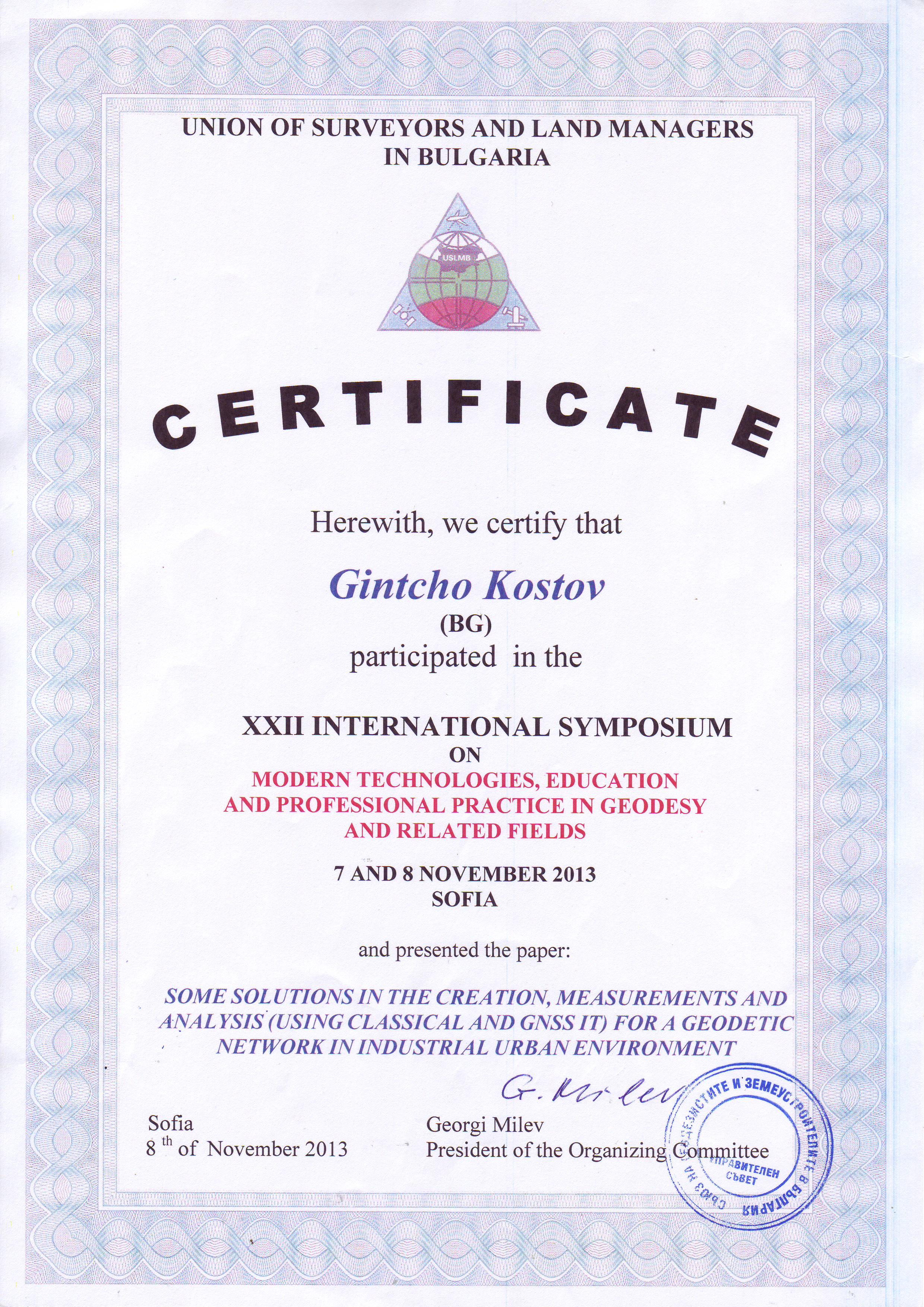
14. Some Solutions in the Creation, Measurements and Analysis (Using Classical and GNSS IT) for a Geodetic Network in Industrial Urban Environment. International Symposium on Modern Technologies, Education and Professional Practice in Geodesy and Related Fields. Sofia, 07 - 08 November 2013. ISBN 978-80-87159-33-0. publication certificate for participation and presentation
15. "STUDY OF THE QUALITY OF THE GNSS MEASUREMENTS IN RTK MODE, CONDUCTED IN HARD TERRAIN CONDITIONS UNDER THE INFLUENCE OF PASSIVE DISTURBERS, APPLYING FUZZY LOGIC". magazine."GKZ" issue. 5-6'2013 year LII, ISSN 0324-1610. publication
2014
16. "Study on the Quality of the GNSS Measurements in Static mode if Applying Certain Values of the Parameters, Following the Current Regulatory Requirements". XXV FIG International Congress 2014 "Engaging the Challenges, Enhancing the Relevance", Kuala Lumpur, Malaysia 16-21 June 2014. ISBN 978-87-92853-21-9. ISSN 2308-3441. download the documents.
2015
17. Application of 3D Terrestrial Laser Scanning for Creation of Project Documentation for Cadastral Objects". XXV INTERNATIONAL SYMPOSIUM ON "MODERN TECHNOLOGIES, EDUCATION AND PROFESSIONAL PRACTICE IN GEODESY AND RELATED FIELDS", Sofia, 05 - 06 November 2015. download the documents.
18. Application, specifics and technical implementation of the 3D terrestrial laser scanning for measurement and analysis of the spatial geometry of a steel construction. FIG Working week 2015. From the Wisdom of the Ages to the Challenges of the Modern World. Sofia, Bulgaria, 17-21 May 2015. ISBN 978-87-92853-35-6. ISSN 2307-4086. download the documents.
2016
19. 3D наземно лазерно сканиране на Троянския манастир - съвременен начин за документиране на културното наследство. "ТВОРЦИ ЗА БЪЛГАРИЯ“. Българската фамилна къща - традиция и перспективи. ТРОЯНСКИЯ МАНАСТИР “УСПЕНИЕ БОГОРОДИЧНО”. 30 СЕПТЕМВРИ – 01 ОКТОМВРИ 2016. download the presentation (in Bulgarian).
20. Vertical Planning Based on 3D Terrestrial Laser Scanning and GNSS Technologies. XXV INTERNATIONAL SYMPOSIUM ON MODERN TECHNOLOGIES, EDUCATION AND PROFESSIONAL PRACTICE IN GEODESY AND RELATED FIELDS. Sofia, November 3 - 4, 2016. ISSN 2367-6051. download the documents.
2017
21. APPLICATION OF 3D TERRESTRIAL LASER SCANNING IN THE PROCESS OF UPDATE OR CORRECTION OF ERRORS IN THE CADASTRAL MAP. FIG Working Week 2017. Surveying the world of tomorrow - From digitalisation to augmented reality. Helsinki, Finland, May 29. June 2, 2017. ISBN 978-87-92853-61-5. ISSN 2307-4086. download publication and certificates.
2018
22. Combination of 3D Terrestrial Laser Scanning and GNSS Technologies for Measurement of hard /Impossible/ to Access Objects of Cadastre in the Process of data Acquisition for the Required Update of the Cadastral plan. FIG Congress 2018. Embracing our smart world where the continents connect: enhancing the geospatial maturity of societies. Istanbul, Turkey, May 6-11, 2018. ISBN 978-87-92853-78-3. ISSN 2308-3441. download publication and certificates.
2020
23. 3D terrestrial laser scanning for cadastral and design activities - performing, data processing and analysis. Storage and backup in the light of the nowadays cloud possibilities.Amsterdam, The Netherlands. ISBN 978-87-92853-93-6. ISSN 2307-4086. download the documents.
2022
24. Assessment of the Accuracy and Reliability of GNSS Measurements in RTK mode, Performed with Inclined pole, Applying Fuzzy Logic. XXVII FIG CONGRESS. 11-15 September 2022, Warsaw, Poland. ISBN 978-87-93914-02-5. ISSN 2308-3441. download the materials.
Copyright ©2026 - "GEO ZEMIA" Ltd. All Rights Reserved.